Know where to look first.
OpenAtlas analyzes the places your business depends on, from supplier plots to facilities, and shows which records need review, evidence or follow-up.
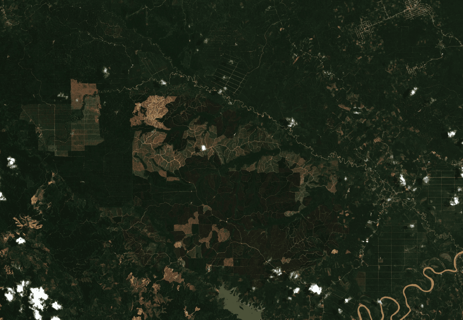
Portfolio screening
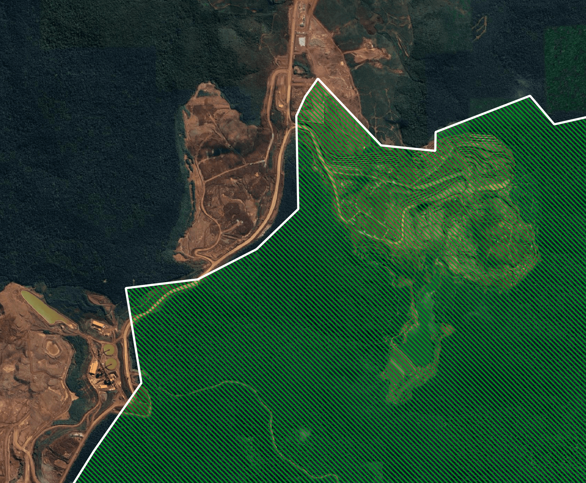
Evidence review
OpenAtlas gives us reliable, actionable geospatial insight for our compliance workflows.

Matthieu Hug
Founder/CEO of Tilkal


MEET VANTAGE
Meet Vantage: the OpenAtlas web app and API.
Upload location portfolios, choose the analysis you need, and review results in the web app or through the API.
INPUT
Drop a geospatial or tabular file
⇧
GeoJSON, KML, GPX, GML, GeoRSS, TopoJSON, WKT, GPKG, SHP
CSV, TSV, XLSX, XLS, JSONL, Parquet, ZIP archives
QUICK TEMPLATES
EUDR Compliance
Check plots against EUDR geospatial risk layers.
Supplier Site Risk
Screen supplier plots for environmental and compliance exposure.
Farm Health
Review canopy, drought, productivity trend and climate dryness.
Physical Risk
Check exposure to climate and site hazards.
Site Suitability
Evaluate land suitability for operational planning.
Visual Verification
Fetch imagery and verify visible conditions where imagery is available.
OUTPUT
Review, integrate or export
Web review table
Rank records by status, confidence and next action.
API response
Send results into sourcing, traceability or compliance systems.
Export to CSV or Excel
Download review-ready tables for reporting or follow-up.
WEB APP + API
Use Vantage in the browser or through the API.
WEB APP
Review location portfolios with your team.
Upload location files, run analytics, review results, and export them.
API
Run analytics inside your own systems.
Use the Vantage API to run geospatial checks from sourcing, traceability, compliance or decision systems.
Need volume, custom workflows or rollout support?
Talk to us about usage plans, commercial terms, onboarding and team requirements.
PARTNER PERSPECTIVES